Portugal Maps: Beja, Serpa and Castro Verde

This map of the Alentejo region includes the towns of Beja, Serpa and Castro Verde as well as the villages of Entradas and Almodôvar.
Beja is 30 km west of Serpa and about the same distance north west of Moura. It is the major town in this remote area of the Lower Alentejo (Baixa Alentejo) in south east Portugal with rail links to the capital, Lisbon.
Castro Verde is 45 km southwest of Beja.
Places Listed on the Map of Beja, Serpa & Castro Verde
The following places of interest are listed.
Museu Regional
Igreja de Santo Amaro
Museu Etnográfico (Serpa)
Torre do Relógio
Ermida de Nossa Senhora de Guadalupe
Museu da Lucerna (Castro Verde)
Royal Basilica of Castro Verde
If you wish to stay in and around Beja here are some recommendations.
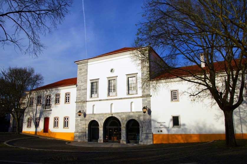
Recommended places to stay in Beja include Pousada Convento de Beja, the Hotel Bejense, the Pax Julia Hostel, the Hotel Francis and the Monte do Gafanhoto a short drive east out of town.
See here for a complete listing of hotels in Beja.


Access - Getting There
Beja is connected by railway to Lisbon with a change of train in Casa Branca. The journey from Beja to Lisbon takes about 2 hours, 10 minutes.
Accommodation in Alentejo
Hotels in Portugal - Booking.com
Albufeira Hotels - Booking.com
Book Hotels in Algarve - Booking.com
Find Hotels in Lisbon - Booking.com
Search Hotels in Porto - Booking.com
Apartments & Hotels in Madeira - Booking.com
Hostels in Portugal - Booking.com
Lisbon Hop-On Hop-Off Bus, Tramcars, and Yellow Boat River Tour
