Portugal Maps: Santa Maria Azores Map
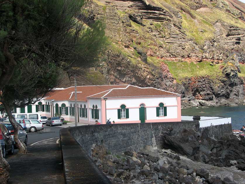
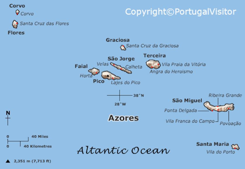
Santa Maria, located due south of São Miguel, is only 17 km by 9 km (10 miles by 5 miles). The island is blessed with golden, sandy beaches and is the driest and sunniest of the Azores islands. It is the southern and easternmost island in the archipelago.
The main town of Vila do Porto ("Town of the Port") in the south west of the island has a population of around 3,000 inhabitants out of the total of 5,000 who live on Santa Maria. The town received it charter (foral) in 1470, the first to do so in the Azores.
The Recreational Forest Reserve of Fontinhas (Reserva Florestal de Recreio de Fontinhas). An area of natural beauty the site has nature walks and areas set aside for picnics and BBQs.
The highest point on the island is Pico Alto at nearly 600 meters with wonderful views. There is a memorial on the mountain to the victims of the deadliest plane crash in Portugal's history, the loss of Independent Air Flight 1851 which struck Pico Alto in bad weather in 1989. All 144 passengers and crew tragically perished.
Vila do Porto has the largest concentration of hotels on Santa Maria. Some places to choose from include the Hotel Colombo with outdoor pool, gym and Turkish bath, and the Charming Blue set within an English-style botanical garden in a Palladian building.
Elsewhere on the island try the Casa da Avó - Turismo Rural in the pretty, rural village of Santo Espírito or the Casa de Lagoa a holiday home in Lagoinhas in the north.
See a listing of available accommodation in Santa Maria.
Book Flights to Portugal