Porto Santo Madeira Map
See a map of Porto Santo in the Madeira archipelago just a short hop by plane or just two and a half hours by ferry from Funchal.
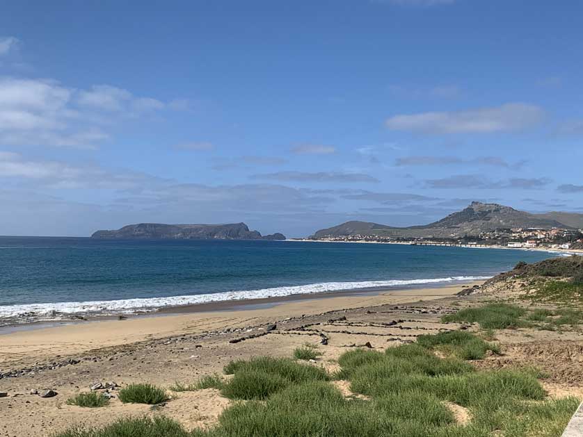
With a population of just over 5,000 inhabitants and a warm, dry climate, the island is the perfect place to relax. There is 9 km of pristine beach running along the southern coast.
The island's major sights include the interesting Casa de Cristóvão Colombo in Vila Baleira, where the explorer lived during his stay on the island as a sugar trader.
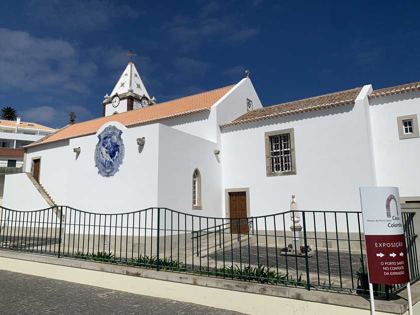
Nearby is the picturesque Igreja de Nossa Senhora da Piedade with paintings by Martim Conrado and the German artist Max Wilhelm Römer, who lived the latter part of his life on Madeira.