Portugal Maps: Odemira Map
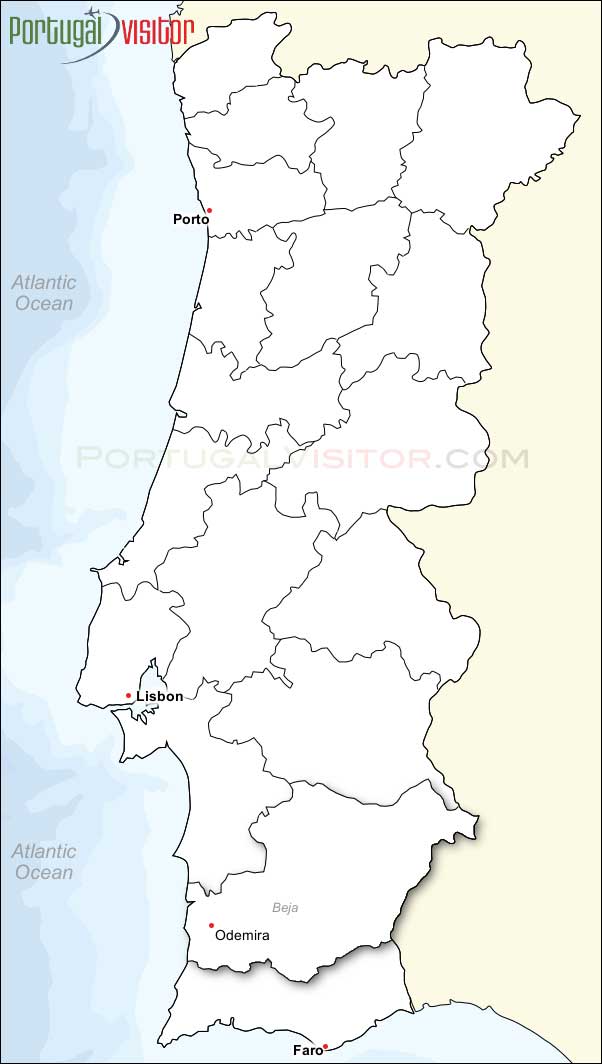
The Alentejo town of Odemira is located on the River Mira.
Odemira is special as Portugal's largest municipality, spanning 1,720 km², offering a blend of wild, protected coastline within the Southwest Alentejo and Vicentine Coast Natural Park, the scenic Mira River, and a historic, laid-back inland village atmosphere. It is renowned for rural tourism, traditional handicrafts, and the Rota Vicentina hiking trails.

Attractions
Attractions include the two bridges that span the River Mira in the town. These are the Ponte de Odemira and the more recent Ponte Pedonal.
The small village of São Teotónio is known for the Igreja Matriz de São Teotónio (Igreja Paroquial de São Teotónio), a historic 16th century church.
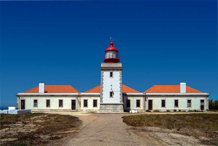
On the Atlantic Coast attractions include the spectacular beach at Zambujeira do Mar and the Farol do Cabo Sardão a lighthouse perched on the dramatic cliffs of Ponta do Cavaleiro.
The Santa Clara Dam is a large inland reservoir offering water sports and calm bathing away from the coast.
Accommodation
Odemira offers a range of accommodation to suit all budgets.
Recommended places to stay in and around Odemira include Herdade do Carregouçal, some distance south of town off the N120, the Casa da Umbria in town, and the Apartamento Kumikata, also a guesthouse just north of the center. See here for a complete listing of hotels in Odemira.

Book Cheap Air Tickets to Portugal